Hiking trails. A hiking map redefined
A free app featuring hiking trail maps
Plan, record, and share routes with friends. Discover new places and take on challenges. Enjoy your hikes



Feature Highlights
-
Route suggestions

Need a hike idea? Use the „Route suggestions” feature. You can view suggestions for the visible area on the map or recommendations for routes passing through a selected point.
Available in Premium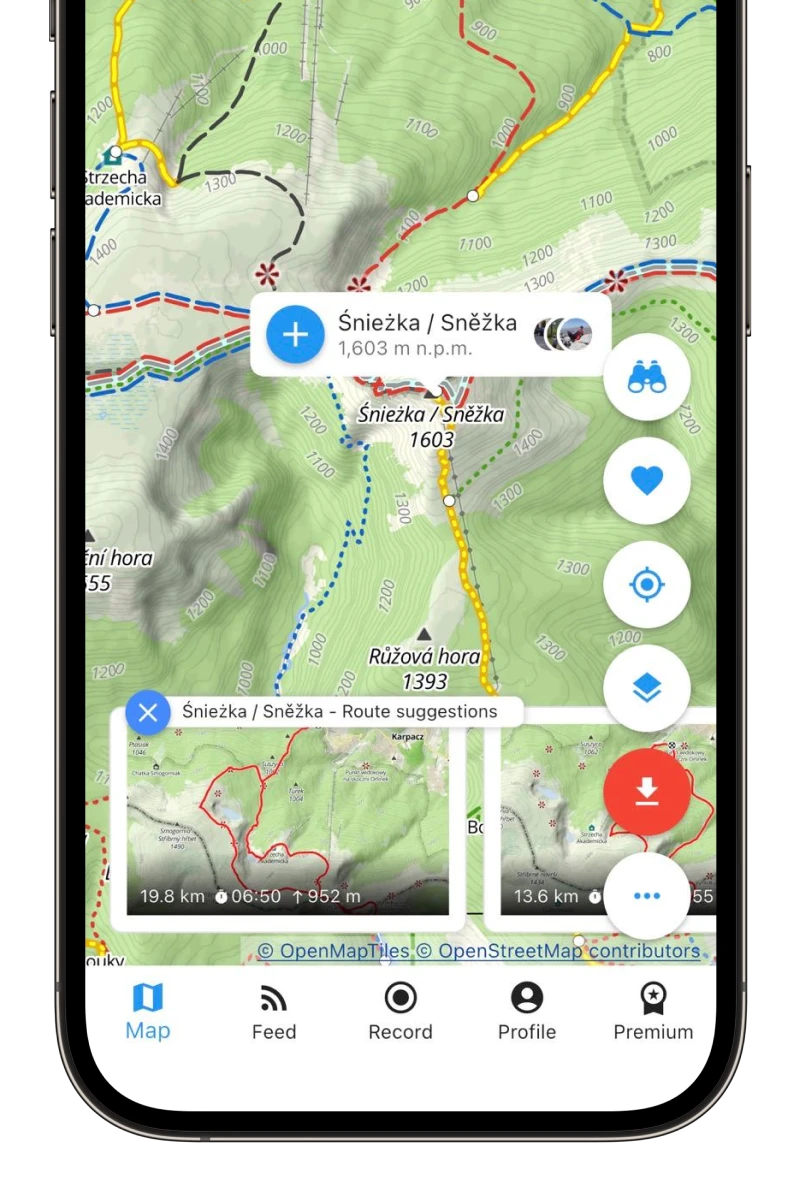
-
Popular routes
Find inspiration by browsing popular routes from other users and the places where they most frequently start their hikes. Select the „Popular routes” layer on the map.
Available in Premium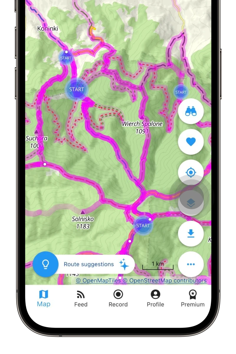
-
Route planning
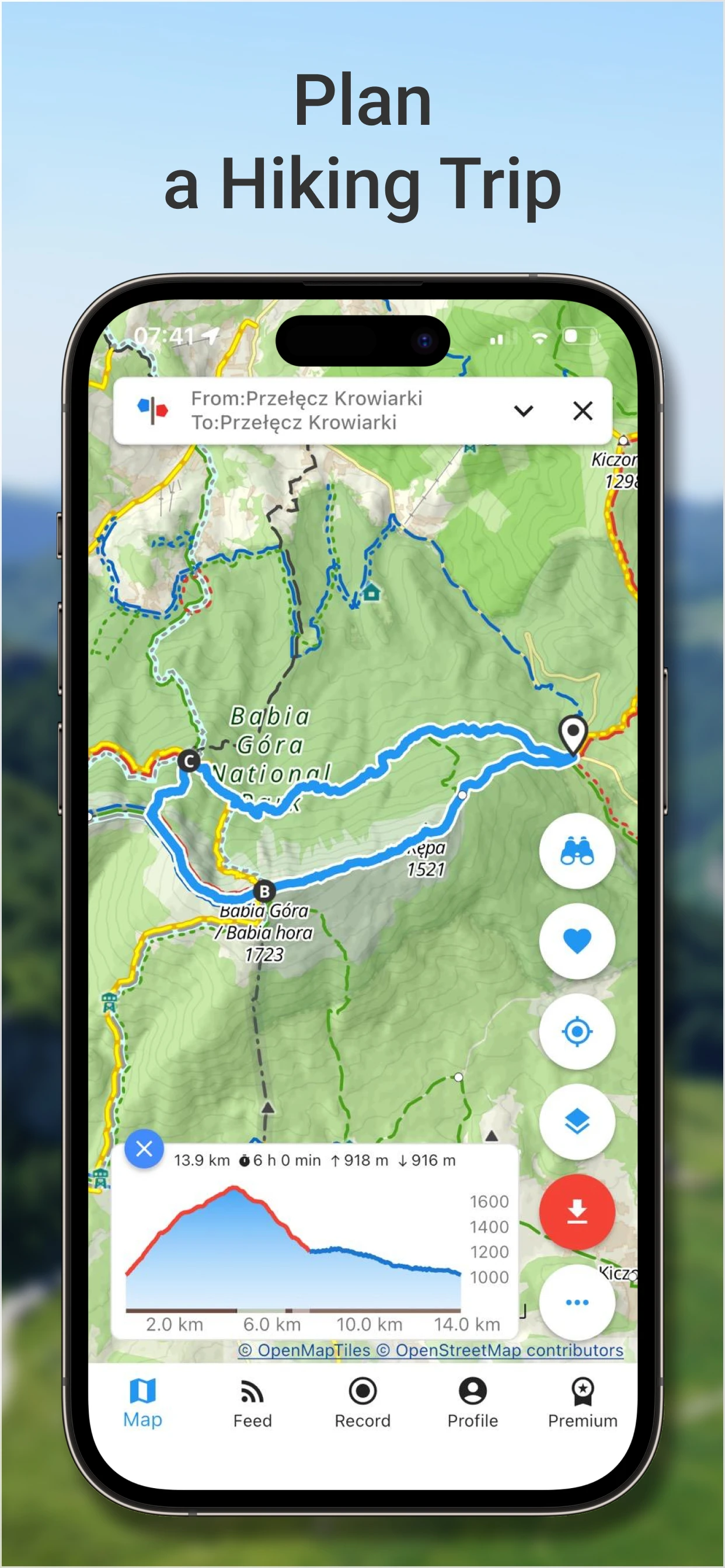
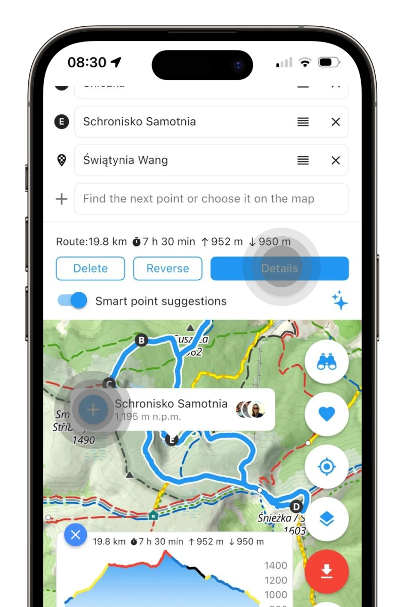
Plan a trip! Select a point on the map and add it to the route. Do the same with subsequent points, then click „Details” and save the route as planned. You'll always have it handy.
-
Route characteristics
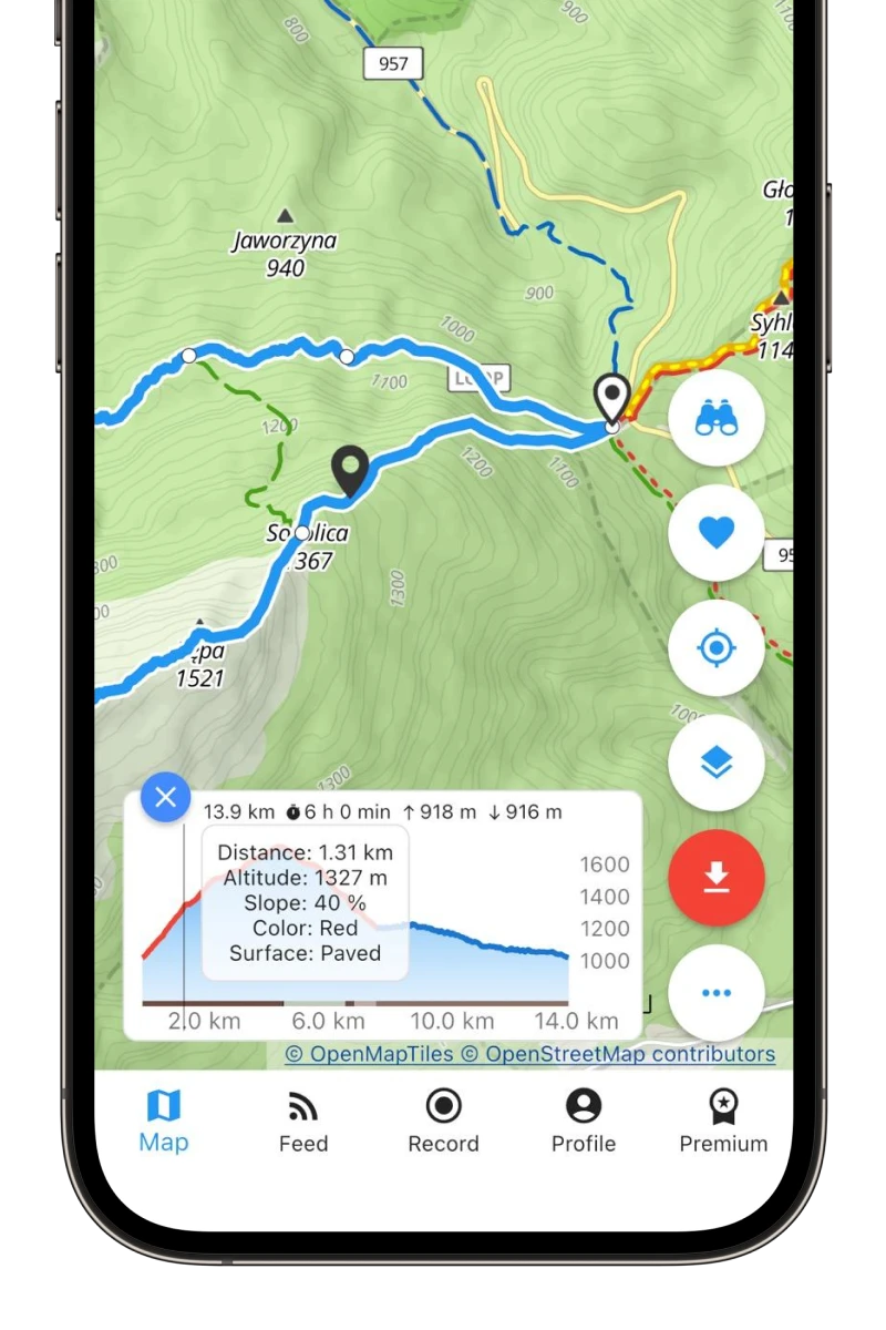
When planning a route, you instantly know what to expect. You'll find out the route's elevation gain, distance, hiking time, and surface type.
-
Warnings and dangers
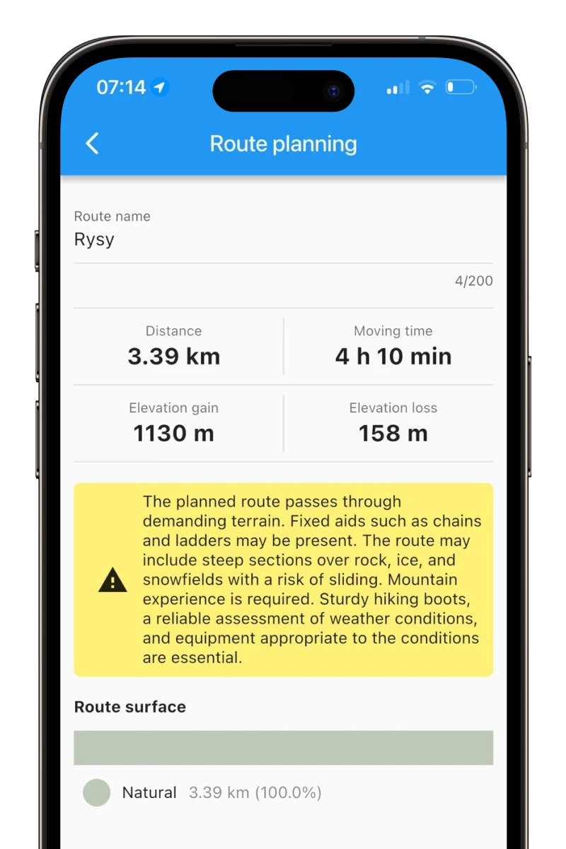
If the planned route passes through difficult terrain, the application will display appropriate warnings.
-
Sharing a planned hike
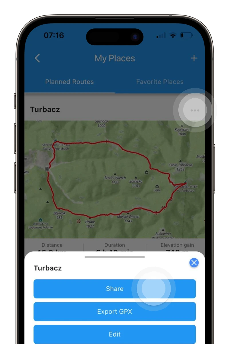
Planned a route and want to go with friends? Share the route with them so no one bothers you with the question, „Are we there yet?” 😉
-
Navigating to the destination
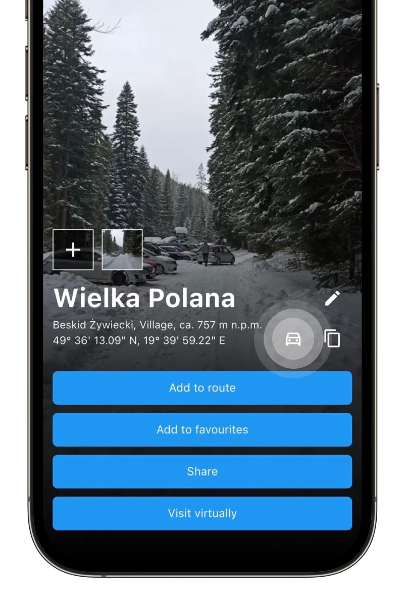
Don't know how to get to the starting point of your route? It's simple! Click a point on the map, then click the car icon, which will guide you to your destination.
-
Are we there yet?
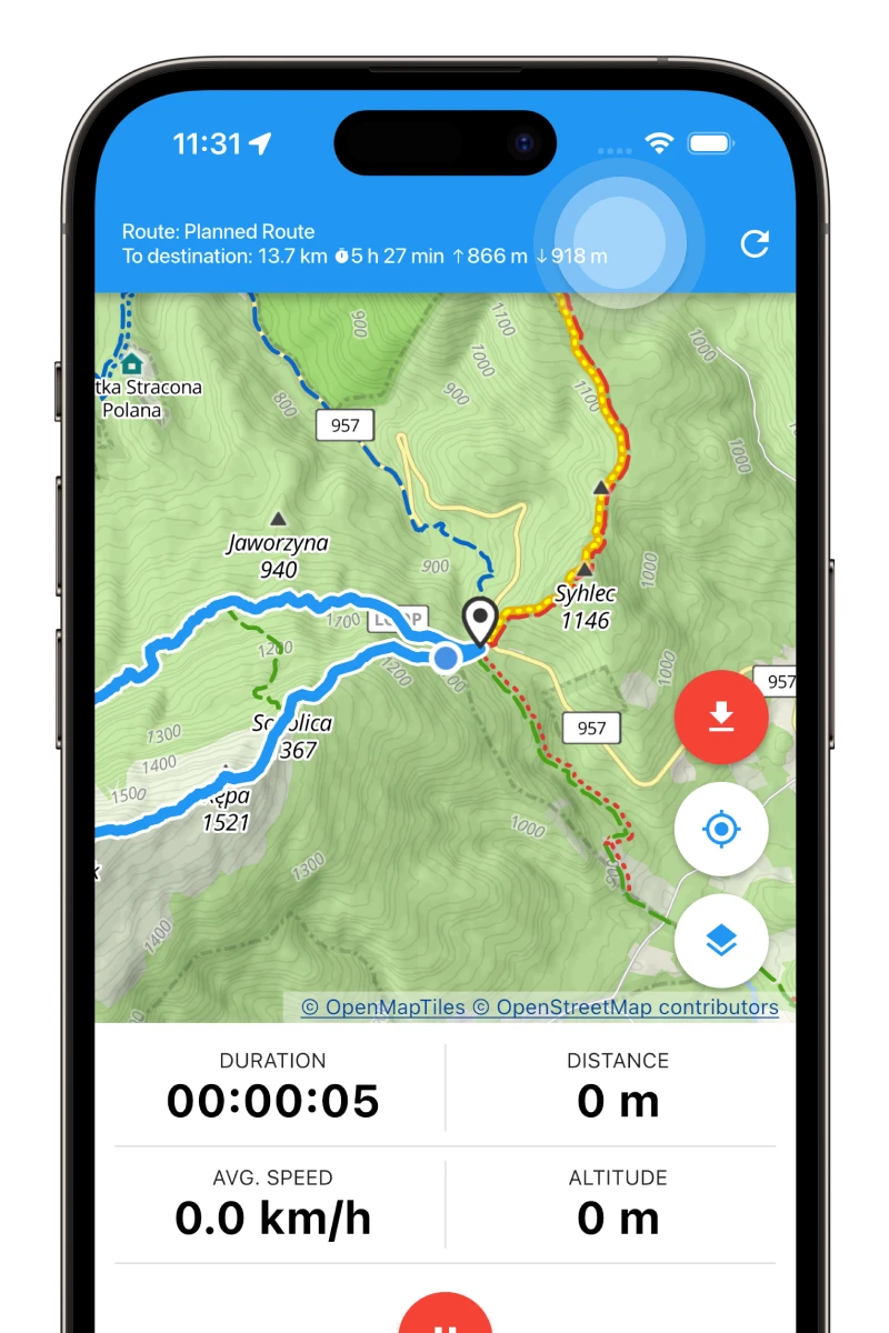
„Are we there yet?” How often do you hear this question? Or rather, how often do you ask it yourself? 😁 Plan a route, then click the top bar on the recording screen to see the details.
-
What peaks are those?
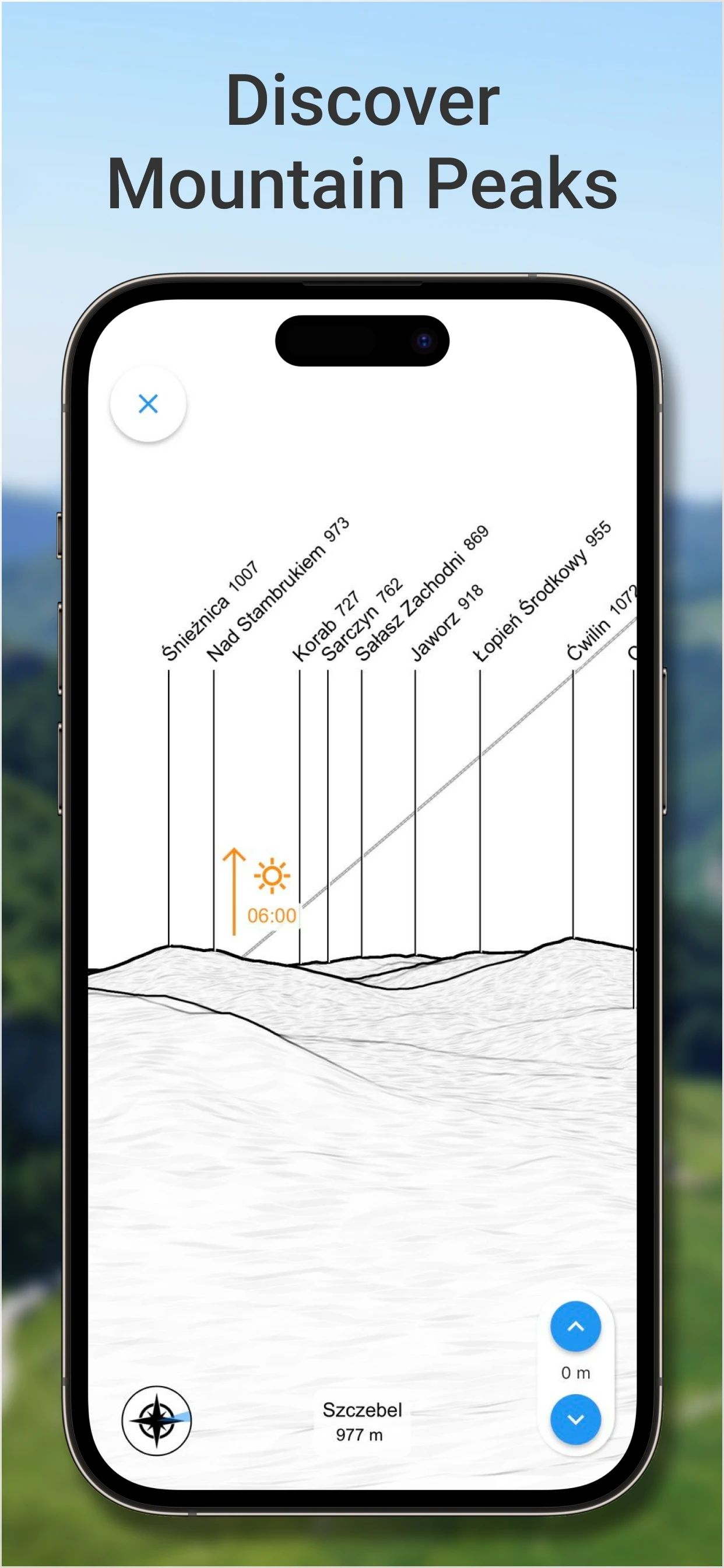
Wondering what peaks you're looking at? Turn on the 3D panorama (the binoculars button), and everything will become clear. You can also view a virtual perspective from any active point on the map.
Available in Premium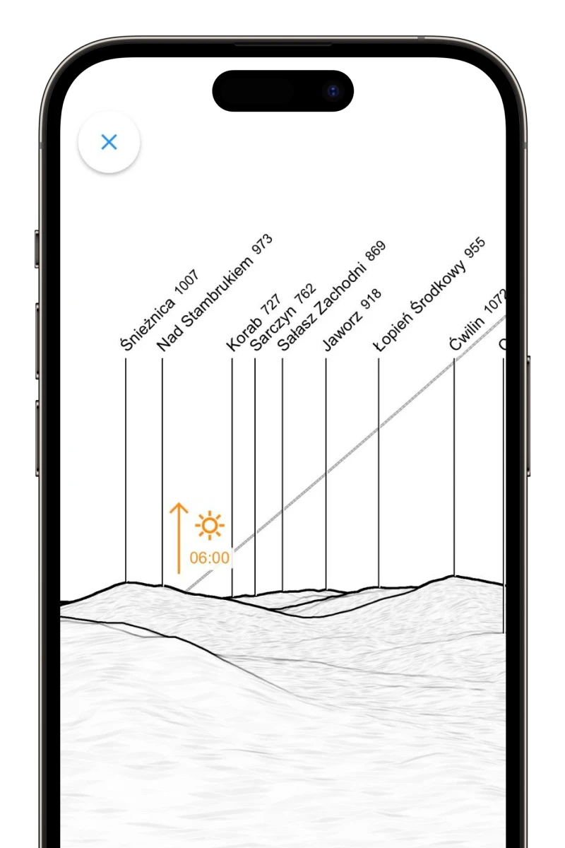
-
GPS track recording
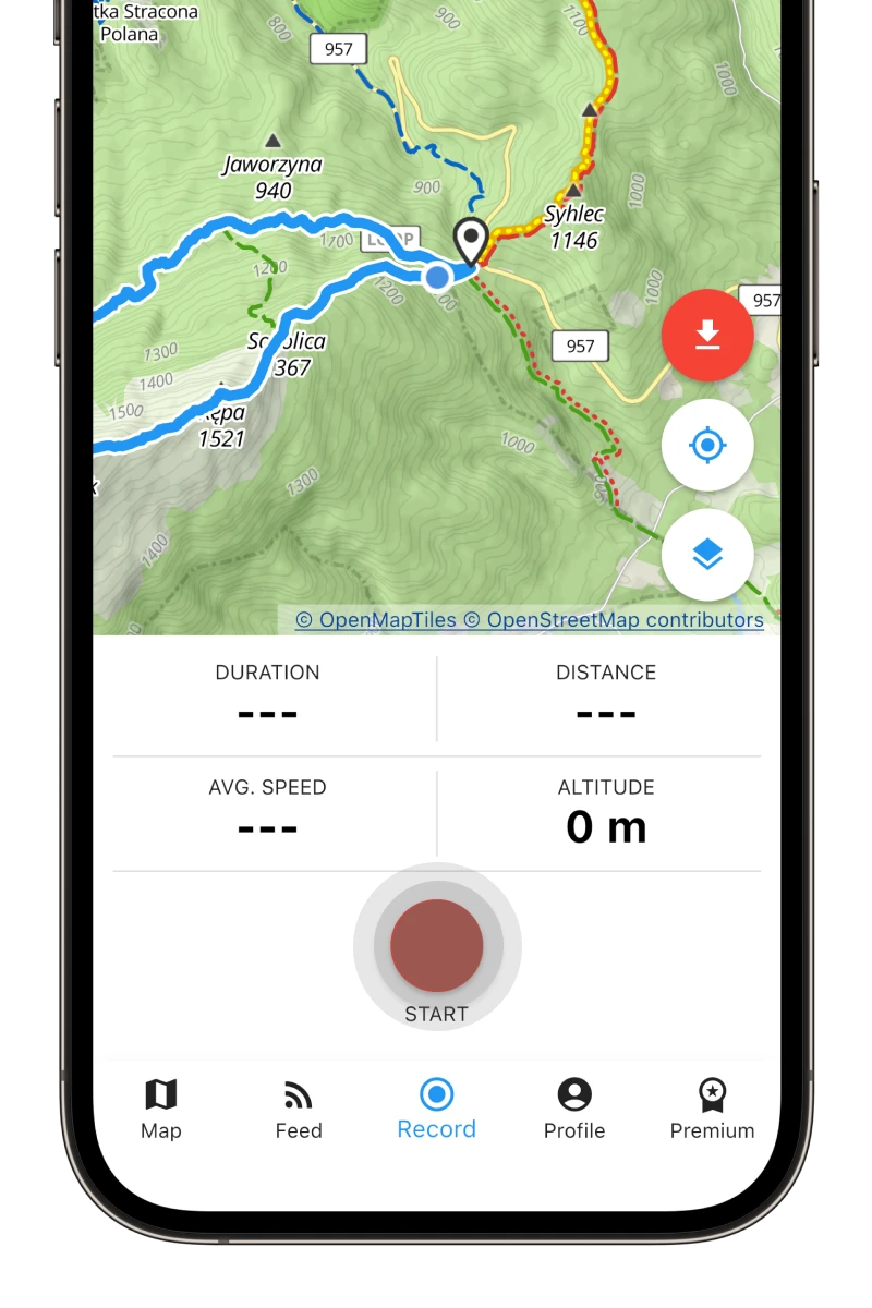
Why is it worth recording your routes? You can analyze your stats, check how many calories you've burned and weight you've lost, build your route history, and (most importantly) show off your achievements to others! 😜
-
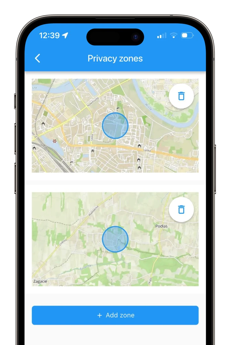
Privacy zones
Set your privacy zones, and no one but you will see the start or end of your track near your chosen location, e.g., your home.
-
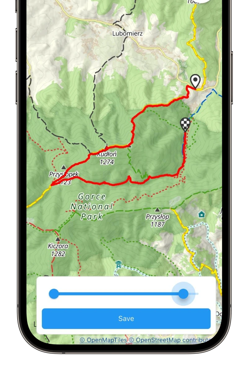
Track editing
Forgot to turn off your route recording? No problem! Use the „Trim” option.
-
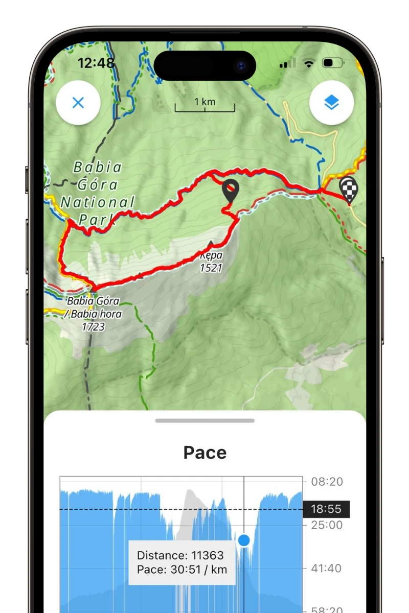
Activity details
On the summary screen, you will find detailed information about your route, including calories burned, an approximate step counter, and advanced pace analysis.
-
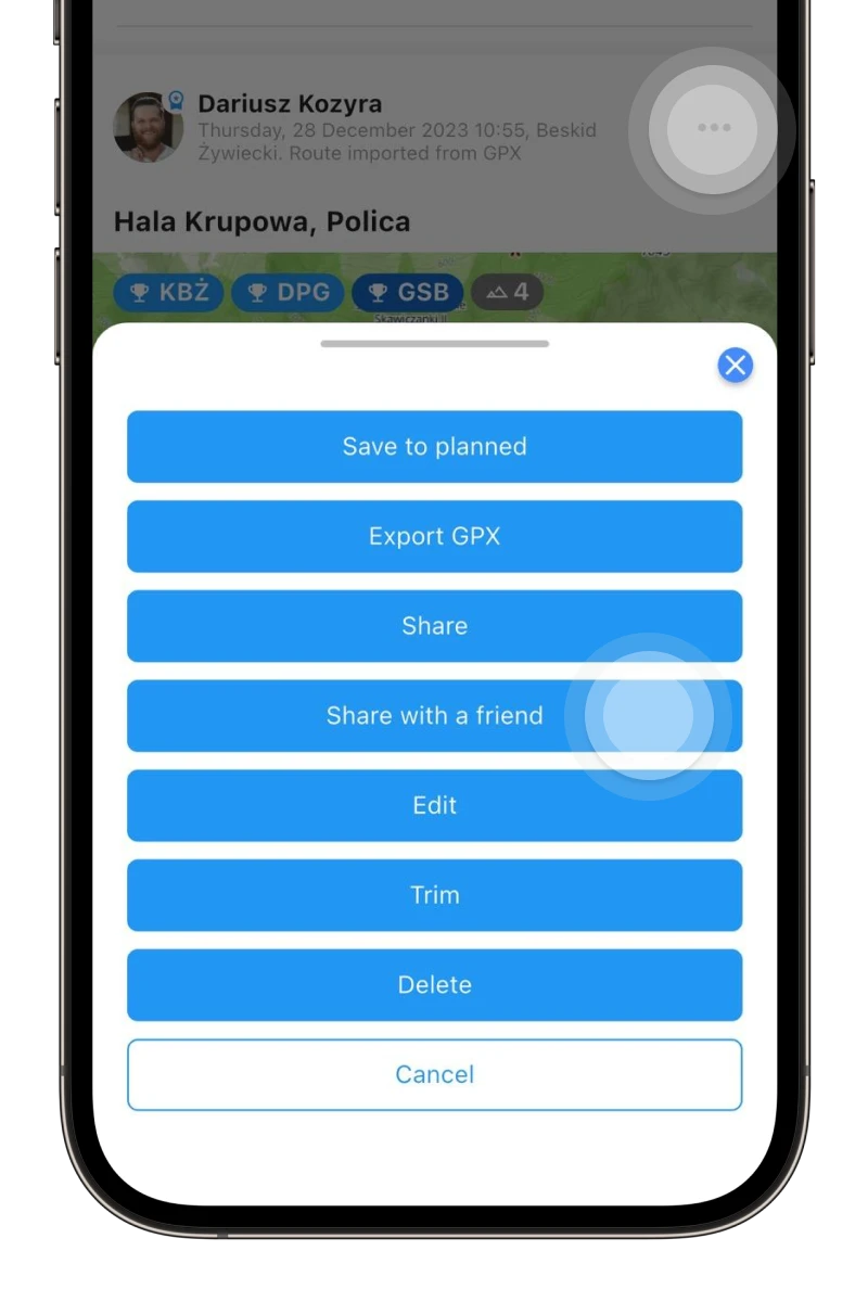
Sending to friends
Did you hike with someone who wasn't recording? Share it with them so they can add the route to their profile too!
-
GPX importing
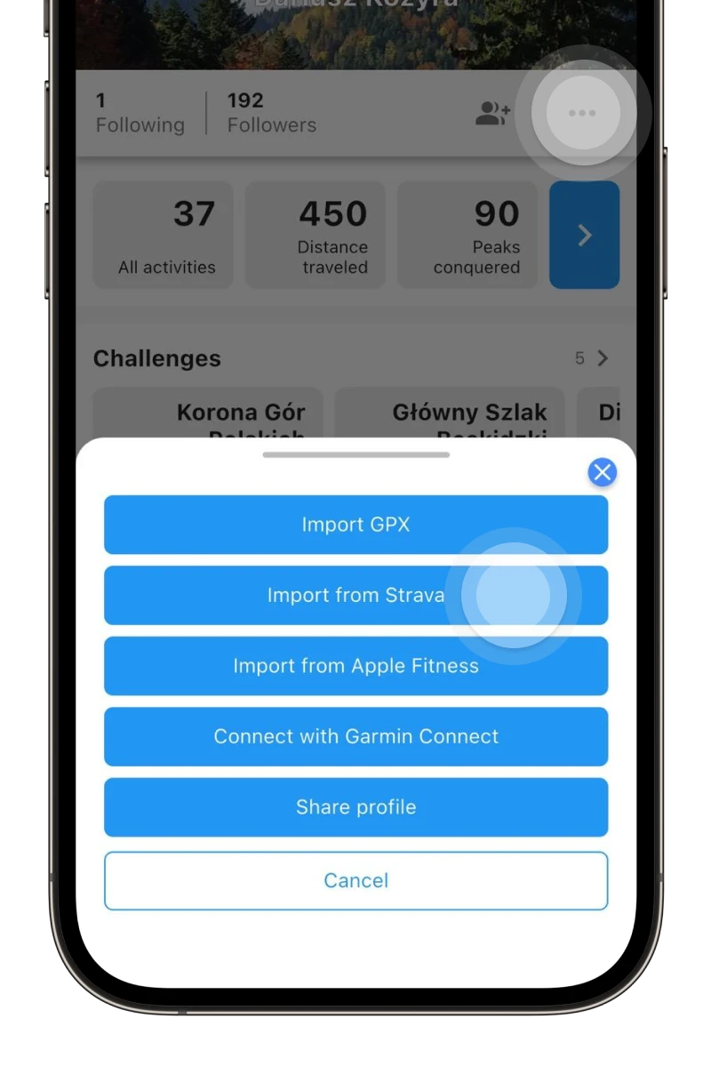
Do you have routes recorded in other apps? Import them from GPX files or directly from Garmin Connect, Strava, or Apple Fitness 😱
-
Completed routes on the map
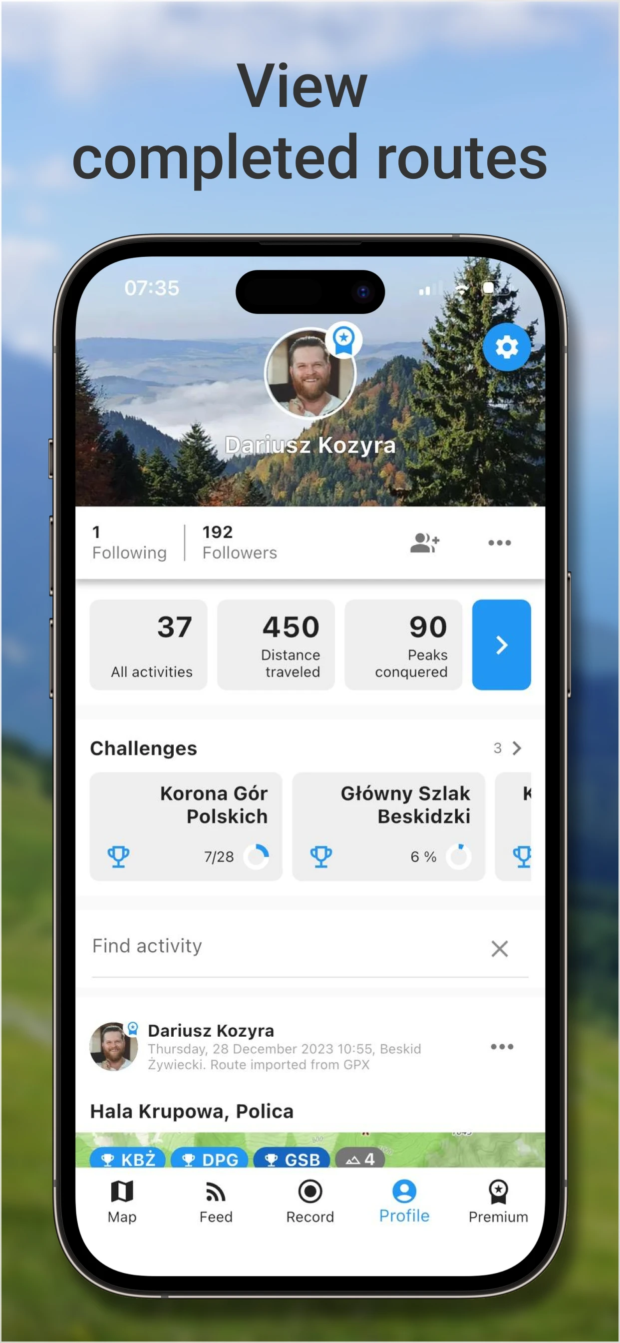
Perhaps you've wondered if you've already hiked this route. By choosing the „Completed routes” layer on the map, you will see all the trails you have visited.
Available in Premium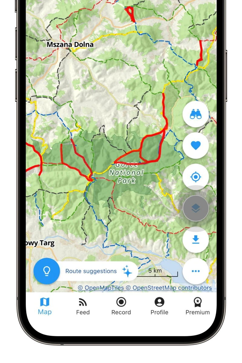
-
Friends network
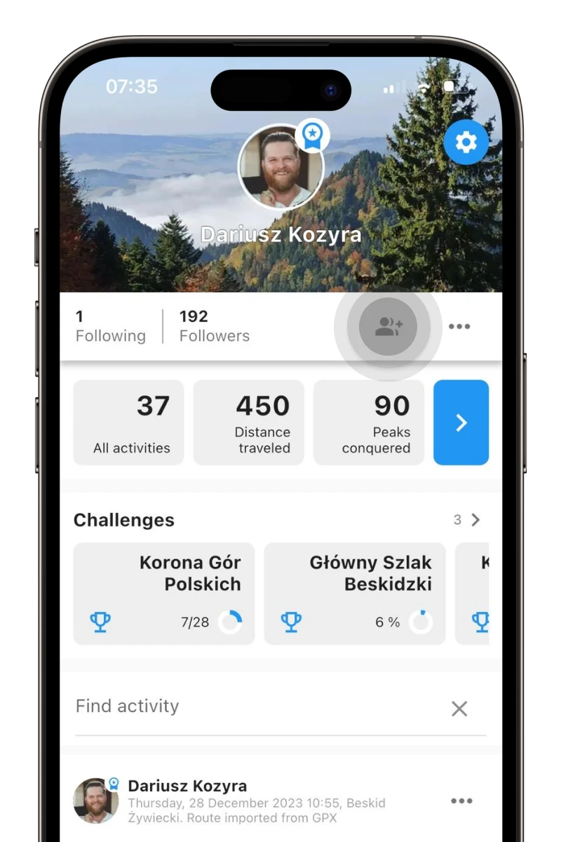
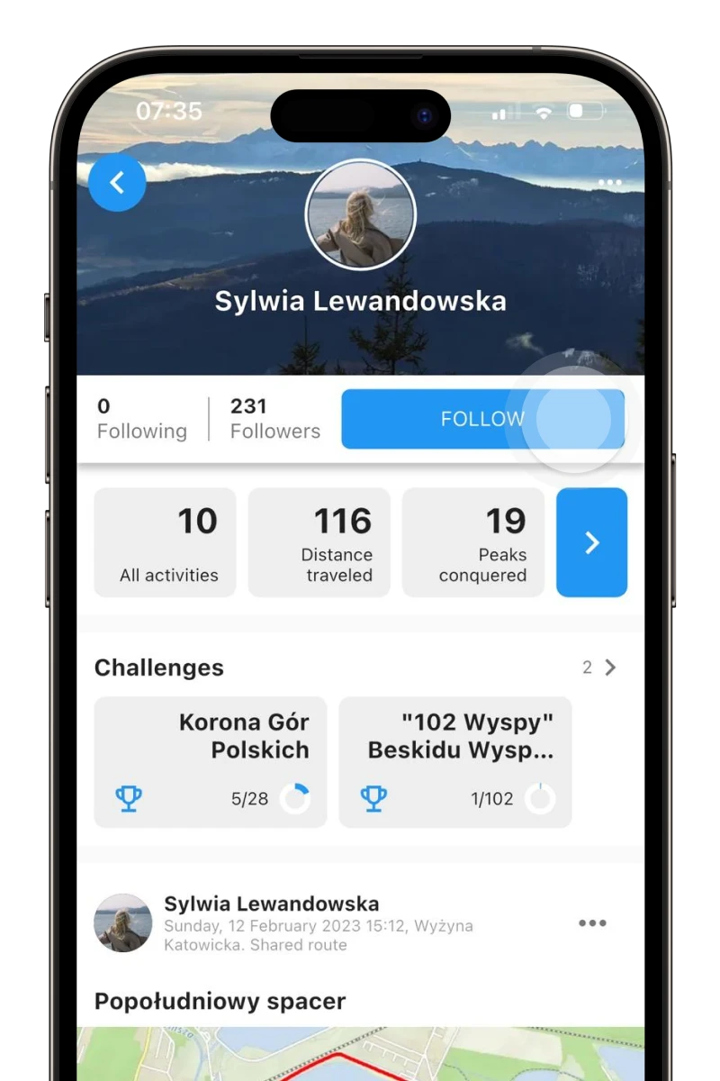
Find friends and start following them. They might inspire you to discover completely new trails and add motivation for more activity.
-
Finding motivation
Follow your friends' activities, comment, give likes, motivate, and be motivated! 👍
-
Offline maps
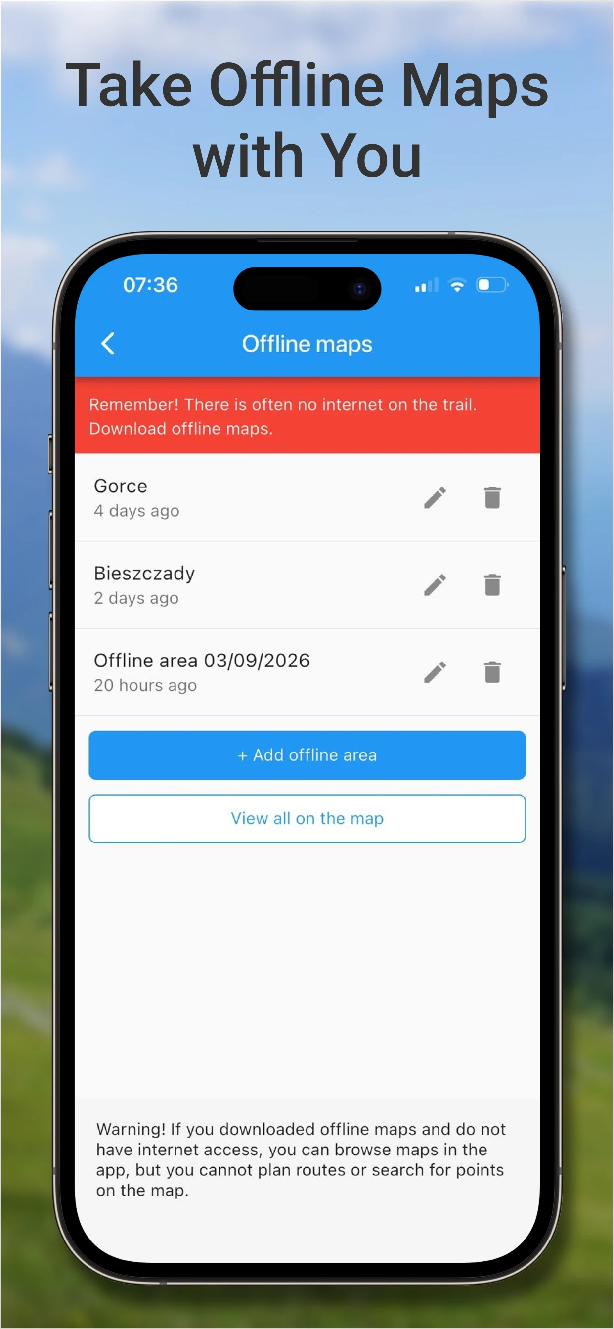
You know very well that there is often no internet on the trail. Download offline maps and feel safe!
Available in Premium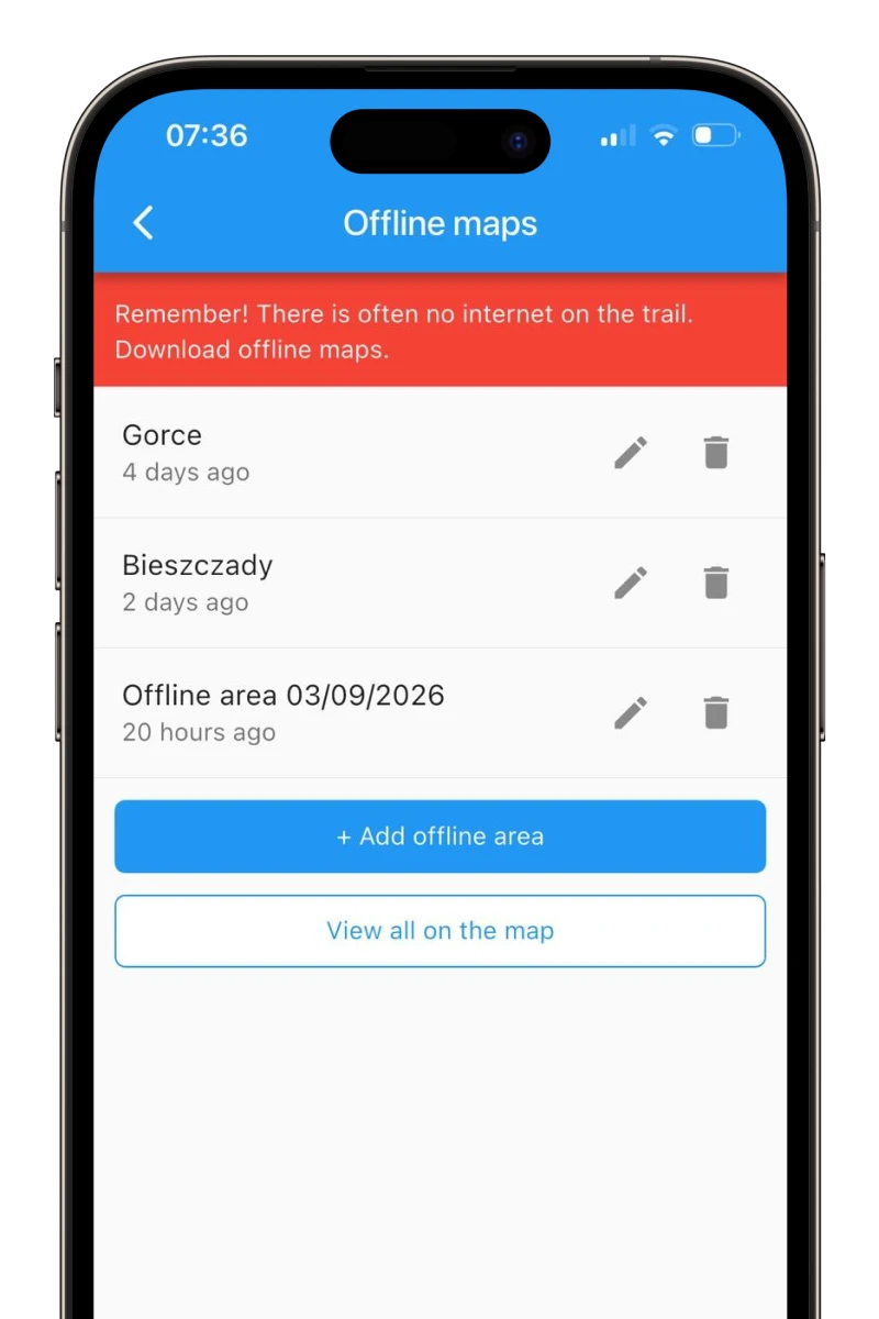
-
Peak achievements
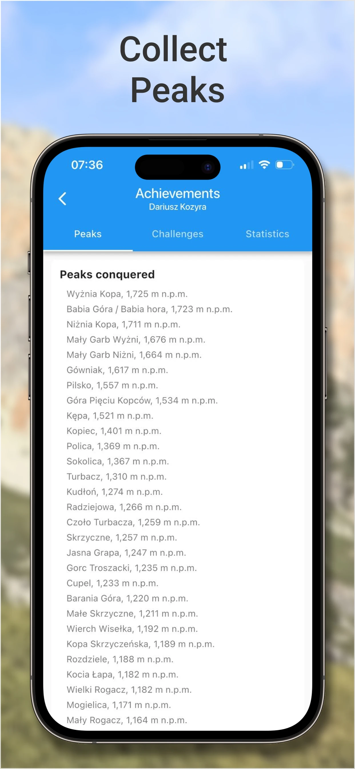
Modesty is a virtue, but a little vanity never hurts 😀 In the app, you have access to a list of all your summited peaks.
Available in Premium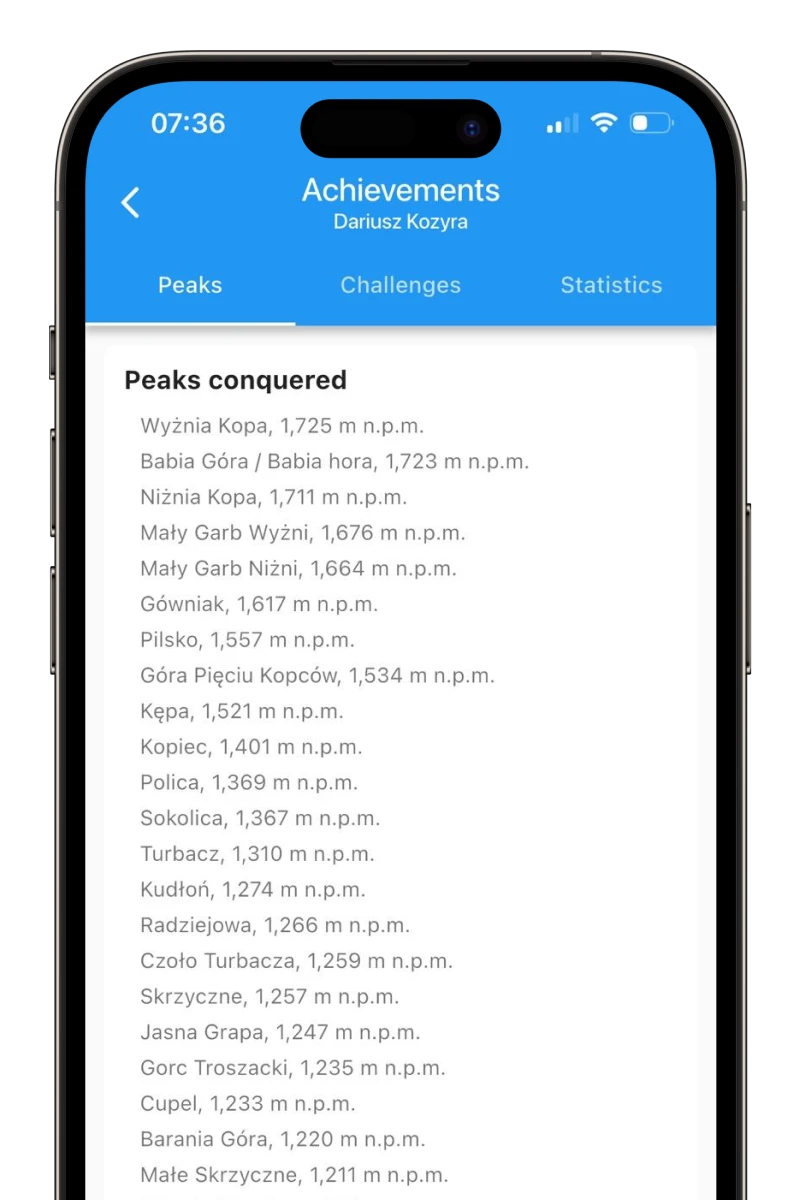
-
Challenges
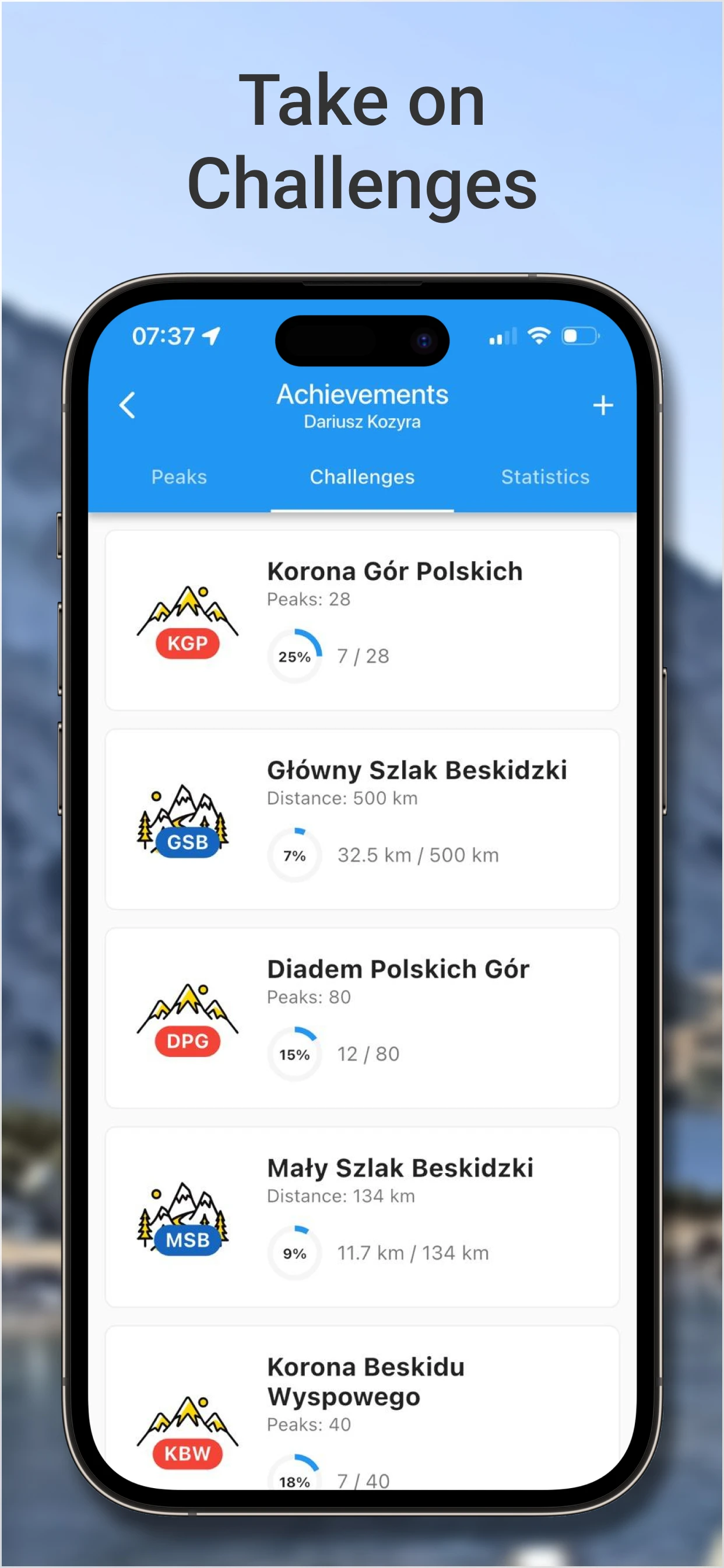
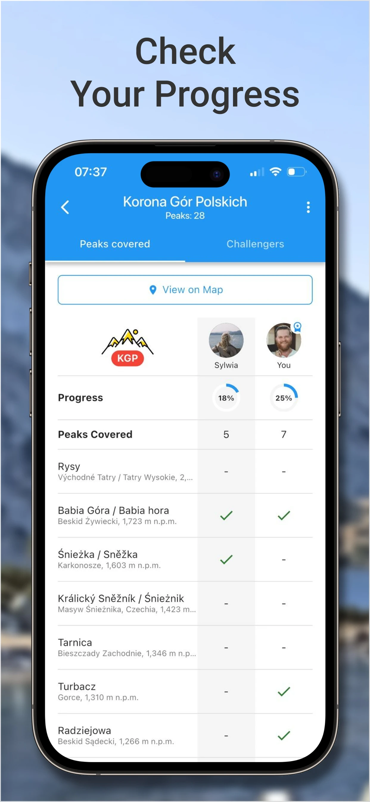
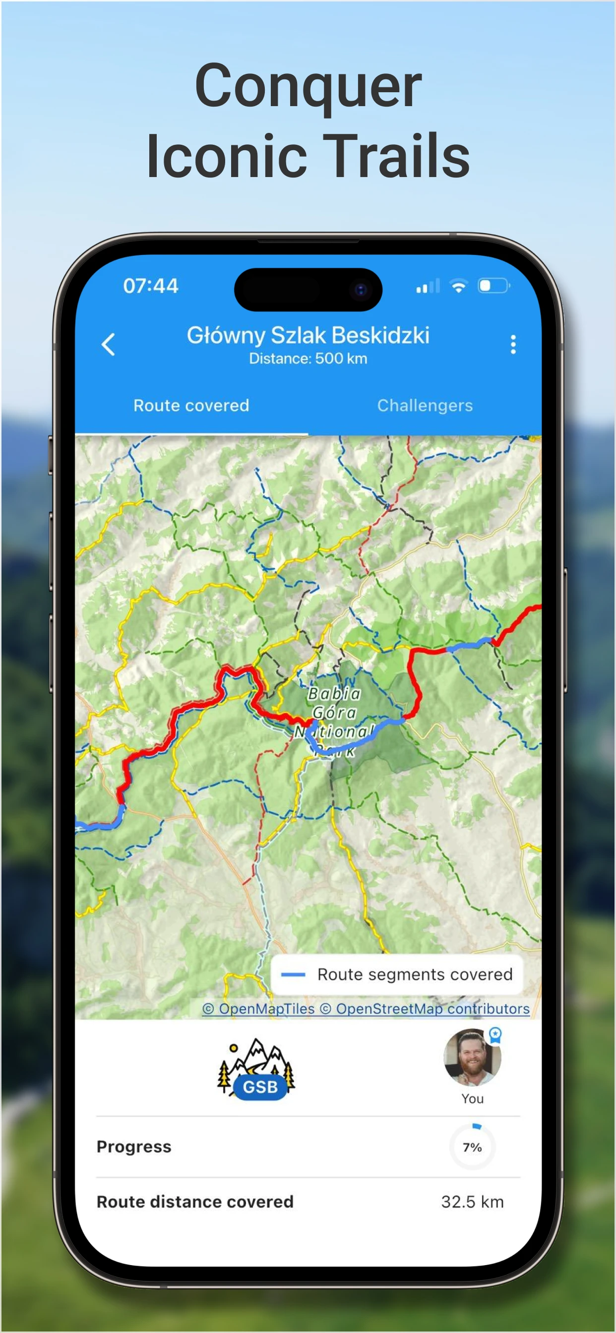
The highest, the most interesting, the most beautiful. Or maybe all of them? Claim your mountain crowns!
Available in Premium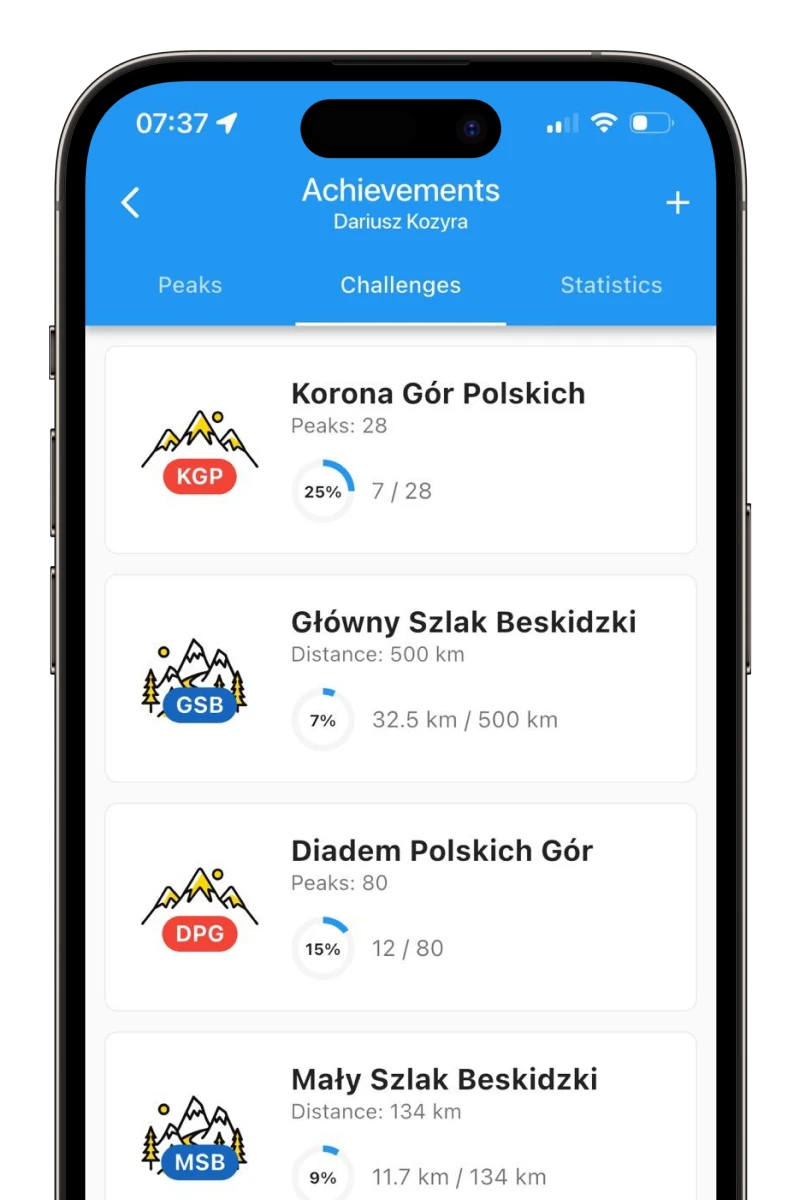
-
Automatic peak verification
Record a route or mark it as completed. Summited peaks will be checked off automatically.
Available in Premium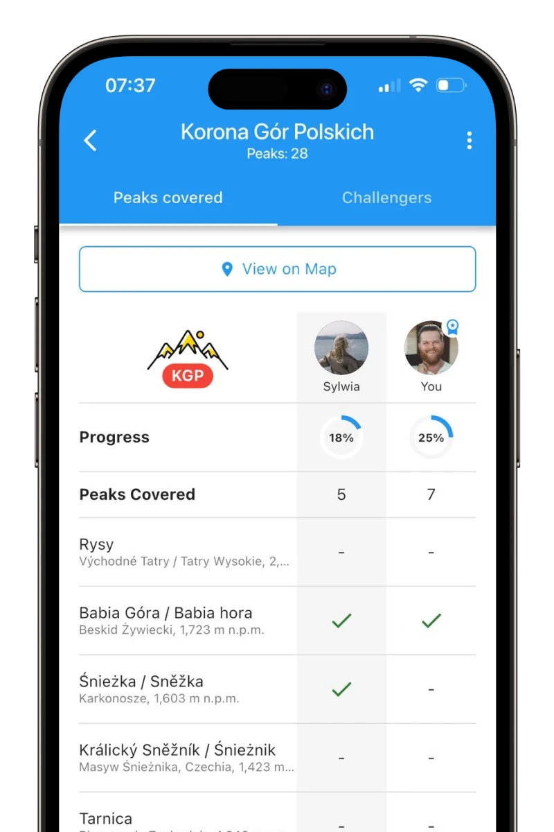
-
Activity statistics
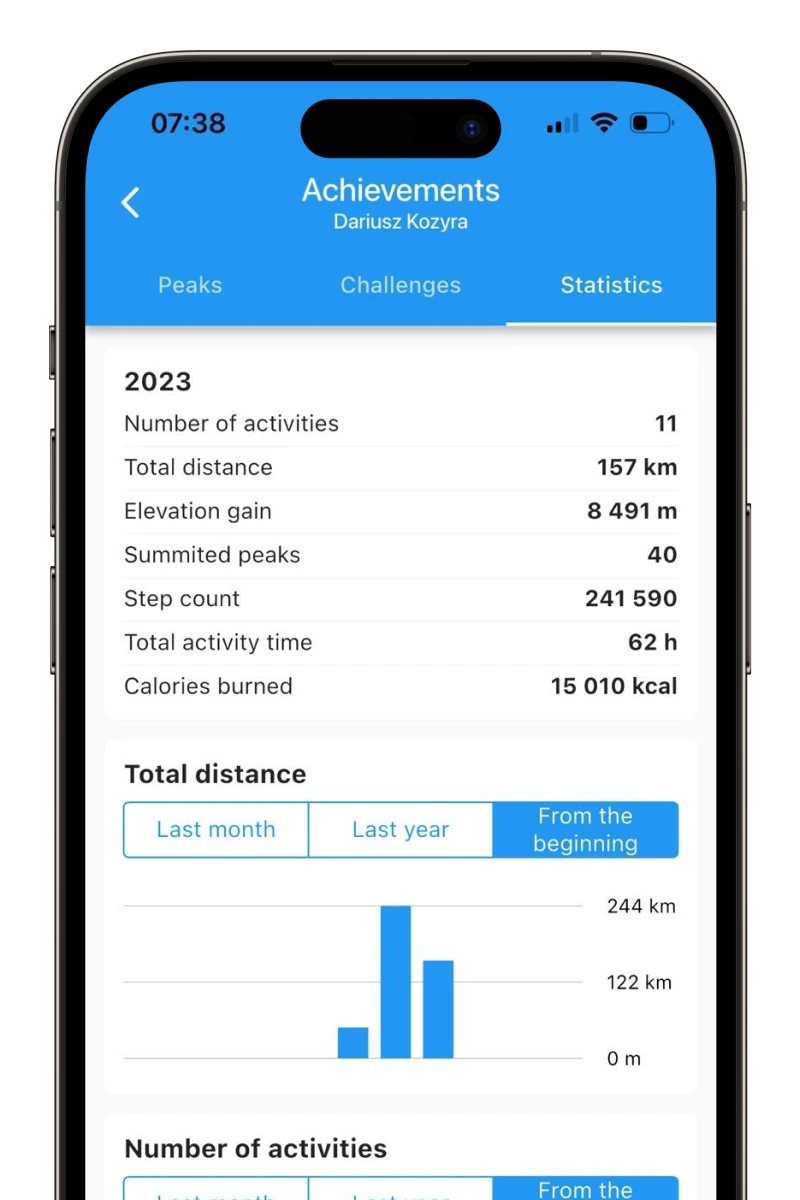
Distance traveled, elevation gain, and calories burned – extensive statistics that allow you to analyze your achievements.
Available in Premium